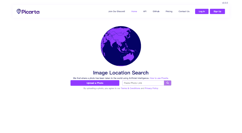
What is Picarta?
Photo Location Search using AI Picarta is a revolutionary tool that harnesses the power of artificial intelligence to accurately determine the geographical location of photos taken around the world. Whether you’re a traveler wanting to pin down the exact spot of your latest adventure, a researcher needing accurate geolocations, or simply curious about a snap from your friend’s vacation, Picarta can provide the answers you need.
What are the features of Picarta?
- AI-Powered Analysis: Picarta employs advanced artificial intelligence algorithms to analyze your images and predict their exact GPS coordinates.
- Worldwide Coverage: No matter where in the globe the photo was taken, Picarta's robust system is designed to search and locate images from anywhere in the world.
- Detailed Results: Once analyzed, users can expect comprehensive results that include latitude, longitude, timestamps, and even camera details.
- User-Friendly Interface: The platform is intuitive and easy to use, allowing anyone to upload a photo and receive results with minimal effort.
- Show Map Feature: Visual learners will love the integrated mapping function that allows users to see the results on a map, helping them visualize the location easily.
- Social Features: Engage with the community through their Discord server, where users can share experiences, ask questions, and provide feedback.
What are the characteristics of Picarta?
- Secure Uploading: By uploading photos, users consent to terms & conditions while ensuring their privacy is respected throughout the process.
- High-Quality Outputs: The results provided by Picarta are not just GPS coordinates but include accompanying metadata like camera settings, enhancing the user experience.
- Engagement Platforms: Users are encouraged to connect with Picarta across various social media platforms like Twitter, Tiktok, Instagram, and Youtube for tips and features about the product.
- Reliable Forecasting: Over time, Picarta aims to improve its geolocalization capabilities through machine learning, making the system increasingly reliable for users.
What are the use cases of Picarta?
- Travel Enthusiasts: Before planning their next trip, travelers can upload previous photos to discover hidden gems in their travels.
- Academic Research: Researchers can utilize Picarta to geolocate images for studies in geography, anthropology, and urban planning, among other fields.
- Real Estate Listings: Real estate agents can use the tool to analyze property photos and get precise locations for listing descriptions.
- Social Media Content: Influencers and content creators can enhance their posts by providing geographical context and engaging locales, thereby increasing audience interaction.
- Event Management: Organizers can pinpoint where events were held through photos, assisting in future planning and marketing.
How to use Picarta?
- Upload Your Photo: Initiate the process by selecting the "Upload a Photo" option on the Picarta homepage.
- AI Analysis: Once the image is uploaded, the AI starts analyzing the image to detect geographical clues.
- Receive and Review: After processing, the system will present the GPS coordinates alongside additional information such as timestamps and camera details.
- Explore Via Map: Utilize the "Show Map" feature to visualize the exact location on a map for easier navigation or exploration.
- Community Interaction: Join the Picarta Discord to share results, ask for help, or engage with other users.